4 courses
Program duration
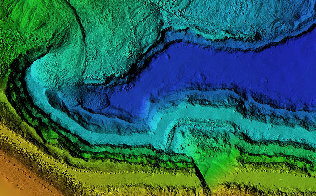

The geospatial field is rapidly growing with increased use of geographic information science (GIS) tools opening up new career possibilities. Miami University’s award-winning online Graduate Certificate in Geographic Information Science program provides pathways for beginners and established professionals to gain expertise in the latest geospatial and remote sensing technology. Grow your digital mapping skills, better understand and analyze data, and stay up-to-date with industry trends. In as little as 14 weeks, diversify your skillset and become more marketable with an online certificate focused on GIS.
This program has a special out-of-state fee waiver for non-Ohio residents. All applicants will pay in-state per credit hour rates.
4 courses
Program duration
6-9 hrs/wk
Time commitment per course
Fall & Spring
Next program start date (rolling admission)
$651.58
With Miami Online's GIS certificate, you'll apply geospatial technology to real-world problems. Immerse yourself in various data formats to better understand their data classification, analysis, and interpretation techniques.
Become proficient using ESRI's ArcGIS suite of desktop and online GIS applications, ENVI Remote Sensing software, and Python programming basics for automating GIS processes. Award-winning online courses let you practice your skills and build community with your peers.
Additionally, this online certificate allows GIS professionals to advance their knowledge through independent study.

Whether you're just entering the rapidly expanding geospatial technologies industry or furthering your education as a GIS professional, our geographic information system certificate program can help you meet your goals. Recent graduates find employment in local, state, and federal government; planning agencies; engineering and environment consulting firms; and environmental non-profits.
The Bureau of Labor Statistics states that "job prospects are likely to be excellent due to the increasing use of maps in government planning." GIS and remote sensing technologies are utilized in a wide variety of fields, including urban planning, disaster management, transport management, smart cities, business intelligence, customer relationship management, marketing, and enterprise resource planning.

To apply for the Graduate Certificate in Geographic Information Science program, you'll need the following:
If you're completing this program to advance or meet your work or association requirements, speak with those parties to ensure that Miami's program meets their individual needs.
Miami University has been named a top 100 best value nationwide by Forbes and Kiplinger's Personal Finance. Our Oxford campus ranks in the top 20 online colleges for return on investment by OnlineU.
Miami's certificate in GIS has a total cost of approximately $7,475 and can be completed in as little as 14 weeks. It is an excellent affordable option for those interested in an online geographic information science program.
The Geographic Information Science certificate program explores the growing field of remote sensing and other geospatial technologies and provides career-ready skills for beginners and GIS professionals. All courses are seven weeks long, so you can take two courses each semester.
New to geospatial applications? You'll take GEO 541, GEO 542, GEO 543, and GEO 548.
Experienced GIS user? You'll take GEO 542, GEO 543, GEO 548, and GEO 610.
| Spring 2023 | Fall 2023 | Spring 2024 |
| GEO 542 | GEO 541 | GEO 542 |
| GEO 543 | GEO 543 | GEO 543 |
| GEO 610* | GEO 610* | GEO 548 |
| GEO 610* |
*Requires advisor approval
Continue reading for course descriptions.
Introduces students to the structure, concepts, capabilities, and functionality of Geographic Information Systems (GIS) and geospatial science inquiry. The course focuses on the management and processing of spatial data, emphasizing data models and structures, geographic data input, data manipulation and storage, spatial analysis, and modeling techniques. Students will learn to frame and solve a sequence of problems with GIS across a wide range of topics including environmental planning, biogeography, conservation biology, sustainable development, natural resource conservation, environmental justice, political geography, and urban geography and planning.
(3 credit hours)
Advanced-level application of GIS technology to geographic problem-solving. Follows on from topics introduced in GEO 541 to provide (a) an in-depth understanding of the technical and substantive issues associated with the use of GIS and (b) advanced-level training in the functionality of major GIS products. Topics addressed include geospatial ethics, cartographic design, mapping with U.S. Census data, advanced geodatabase concepts, topology, web mapping/GIS, mobile data collection, spatial modeling, spatial interpolation, and LiDAR.
(3 credit hours)
Introduces the basic concepts of computer programming languages and how they can be used with geospatial data using Python as an example. The course focuses on writing scripts that work with geospatial data and automate geoprocessing tasks within ArcGIS. Python concepts addressed include variables, conditionals, lists, loops, functions, and error handling. Python GIS concepts addressed include geoprocessing, data exploration, spatial & attribute queries, cursors, and raster analysis.
(3 credit hours)
Introduces the basics of remote sensing concepts and technology, including satellites and instruments. Students gain experience with image processing software and techniques, applications of remote sensing. Remote sensing concepts addressed include image interpretation using ENVI software, sources of remote sensing data and how to access the data, spectral vegetation indices, data transformations, accuracy assessments of classified imagery, change detection, and applications in fire management.
(3 credit hours)
Work with GISci faculty/staff to develop a topic for independent study. This course offers an experienced GIS user the opportunity to expand upon existing skills or develop new skill sets. Final product from the class will be a formal project presentation, research paper, or equivalent.
Miami University's online Graduate Certificate in Geographic Information Science provides comprehensive hands-on experience with the latest GIS and remote sensing technologies. Our geographic information science program can be completed in as few as 14 weeks and be the foundation or the next step for a career in geospatial mapping technology.