Geospatial Analysis Center
Precision Tools. Powerful Insights. Workforce Ready Day One.
Geospatial Analysis Center

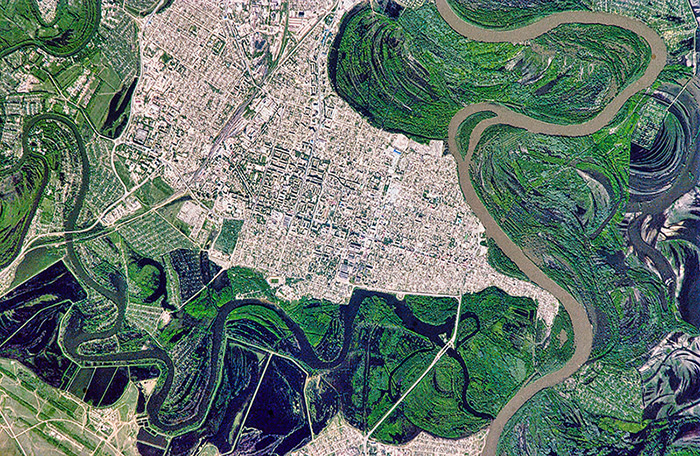
Harnessing satellite technology and geospatial intelligence, Miami University’s Geospatial Analysis Center delivers precision mapping, analysis, and data services to industry partners as well as local, state, and federal governments. These consulting projects support environmental monitoring and urban development while providing actionable insights, such as cemetery and parkland mapping and analysis of historic land records. Client-based projects, internships, applied research, and national initiatives like NASA’s DEVELOP program provide emerging geospatial analysts with hands-on experience — developing them into professionals ready to meet Ohio’s growing demand for geospatial expertise.

The Miami Difference
Talent That Adds Value on Day One of Employment.
- The Geospatial Analysis Center unites governments, industry partners, and emerging geospatial analysts through applied GPS and geospatial training, delivering impactful solutions while preparing a pipeline of career-ready talent.
- Employers gain career-ready geospatial professionals with practical mapping, analysis, and data skills, while next-generation analysts develop industry-valued expertise through consulting work, internships, and applied research.
- Companies reduce costs and sharpen insights as Miami-trained geospatial professionals deliver applied expertise that strengthens operations and fuels innovation across high-demand sectors.