
Geospatial Analysis and Mapping
A Complex World, Big Data
Mapping is central to understanding patterns and good decision-making in environmental science, urban planning, business/logistics, and climate change. Today’s geospatial analysis and visualization is defined by advances in satellites, GPS, computing, analytics, coding, and even drones. We live in a world of data with a need for data-driven solutions. Those with geospatial skills can best navigate it.
Taking Mapping to a New Level
Geospatial Scientists use cutting-edge techniques to
- gather and integrate data on processes and patterns
- manage and analyze large datasets
- effectively map and visualize societal and environmental data
- work across disciplines and cultures to address societal challenges
Degree Options
Foundational Concepts and Advanced Skills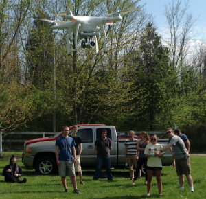
Our Geography and Sustainable Development and Urban and Regional Planning majors offer concentrations in GISci, and our department offers a GISci certificate, which focus on
- human and physical geography: spatial processes and patterns
- theory and techniques
- cartography and design
- advanced techniques in remote sensing, GPS, database design, and coding
- practical applications of GISci, including service-learning clients and internships
Tech Careers
GISci careers with a “Bright Outlook”—new/emerging or expected to grow—include:
- Geospatial Information Scientist and Technician
- GEOINT Intelligence Analyst
- Remote Sensing Scientist and Technician
- Data Scientist, Modeler, and App Developer
- Research Scientist/Engineer
- Computational Geoscientist
In the Real World
Department of Geography
118B Shideler Hall
250 S. Patterson Ave.
Oxford, OH 45056


