‘Moore Maps:’ How the City of Oxford uses maps to organize data
Take a look at the City of Oxford’s Geographic Information Systems.
Published
•
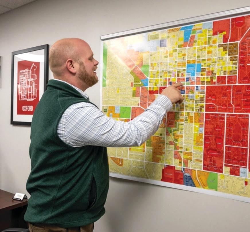
Zachary Moore points at an existing land use map in his office. Photo provided by Zachary Moore.
‘Moore Maps:’ How the City of Oxford uses maps to organize data
Take a look at the City of Oxford’s Geographic Information Systems.
Published
•
Before Zachary Moore became the City of Oxford’s City Planner and Geographic Information Systems (GIS) Coordinator, he was a kid obsessed with maps.